

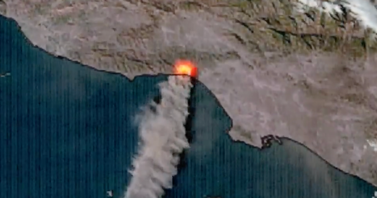
Satellite images of LA fires show "heat blooms" from space
Satellite imagery captured the rapid growth of the fires burning in Los Angeles County. KCAL assignment manager Mark Liu shares infrared satellite data, which shows heat signatures and activity from the destructive fires on Wednesday.
AI brief
Pulse reads the full article- What happened
- Why it matters
- What to watch
Sign in to get the AI brief. Pulse explains what happened, why it matters, what to watch and who's exposed. Free for members.
Sign in to read the brief